 01
01
Ifonche
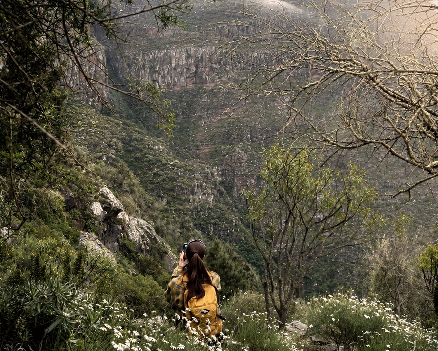
A quiet southern gem with pine forest, deep ravines and wide views toward the coast.
€10Open route
Canary.Hikes · digital route guides
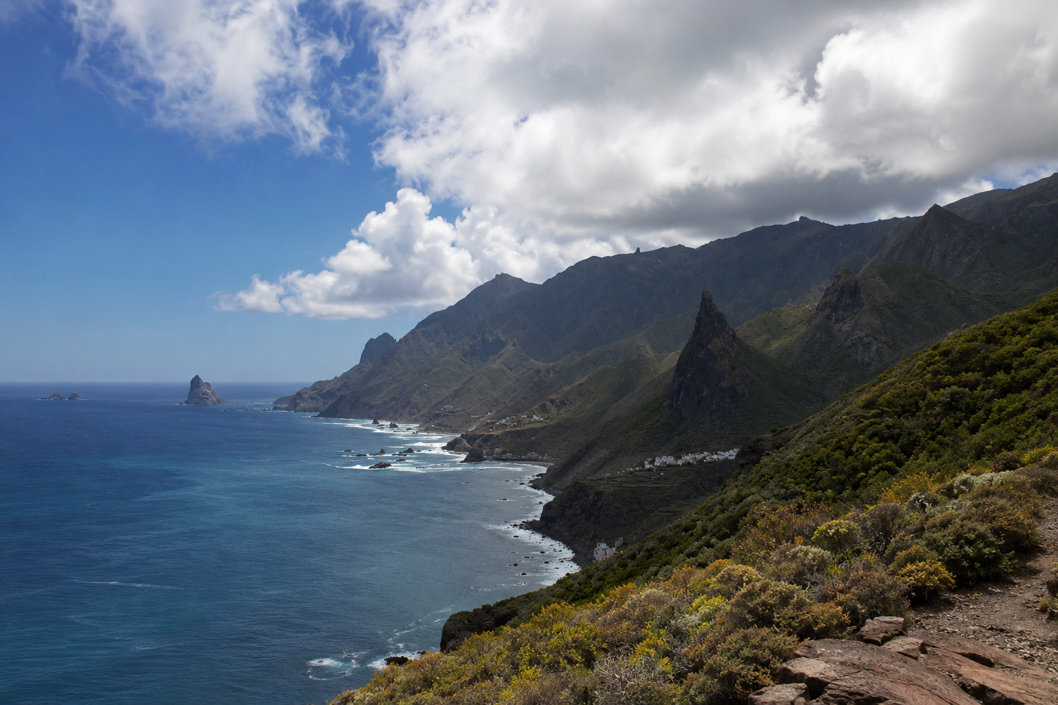
Self-guided routes we walk ourselves: from the misty forests of Anaga to Teide high country and the ocean trails of the north coast.
We walk them first
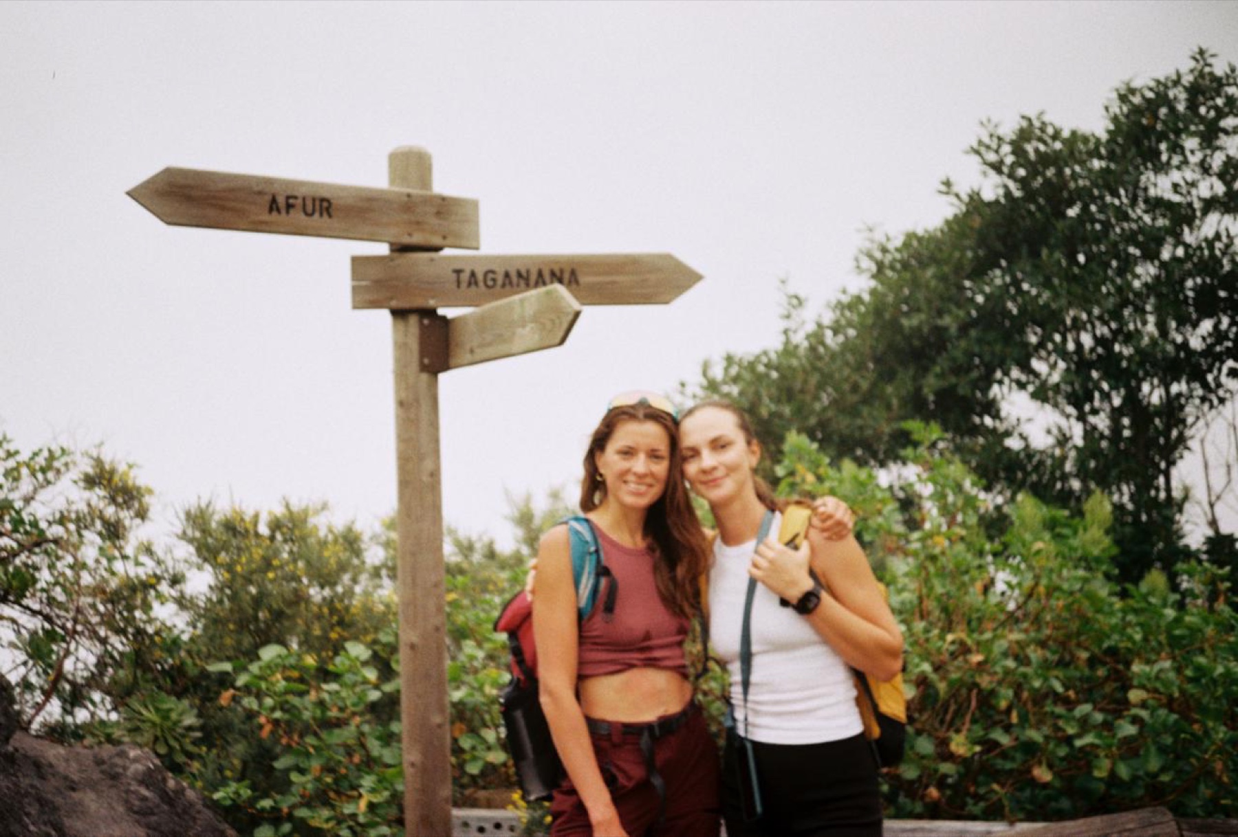
Some trails look great on a map, then turn out repetitive, crowded or awkward to plan. We walk every route ourselves, often more than once, and keep only the hikes that genuinely deserve a day of your trip.
Hiking routes
01
A quiet southern gem with pine forest, deep ravines and wide views toward the coast.
 02
02
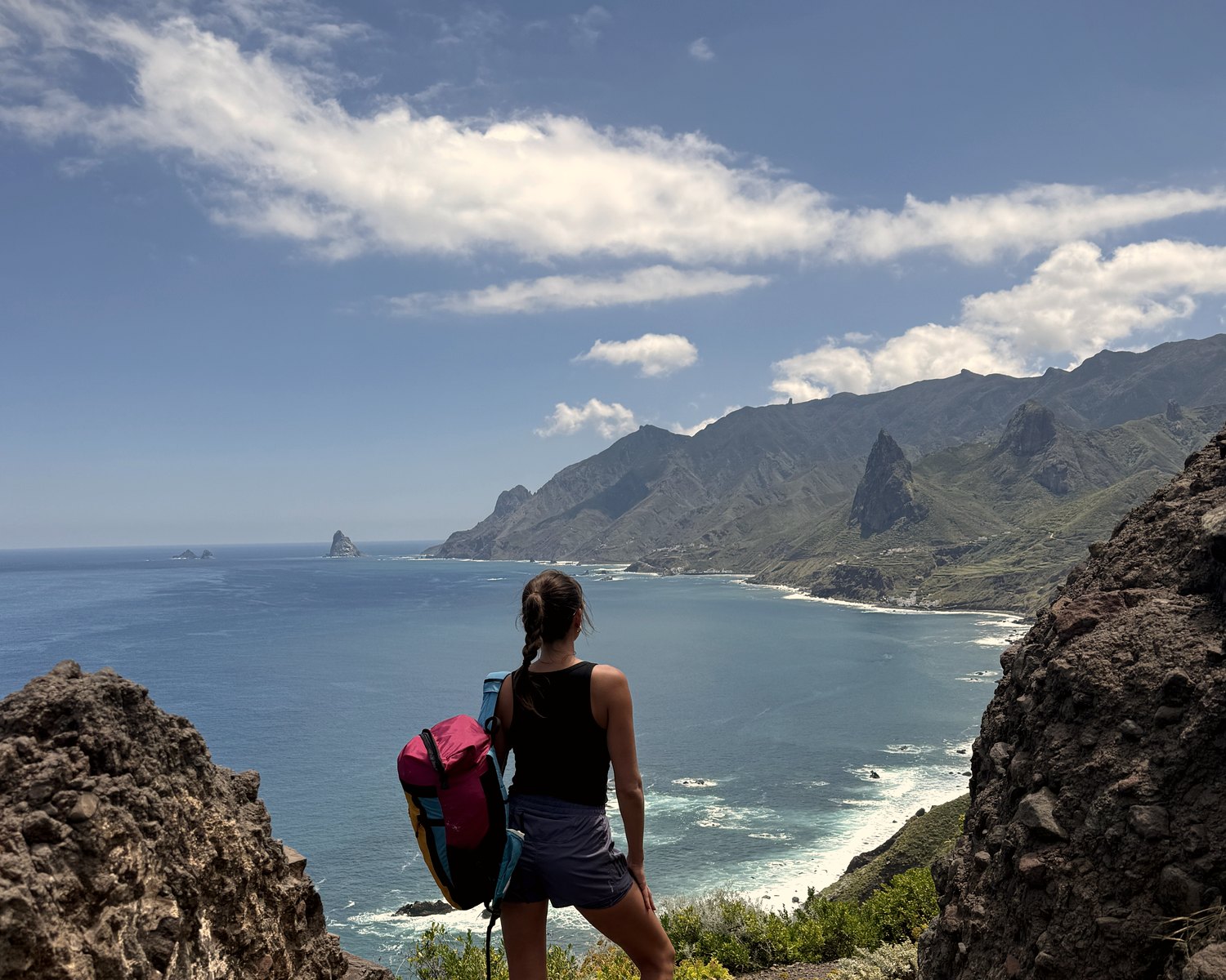
A big-view Anaga route through local villages, forest sections and some of the best panoramas on the north coast.
 03
03
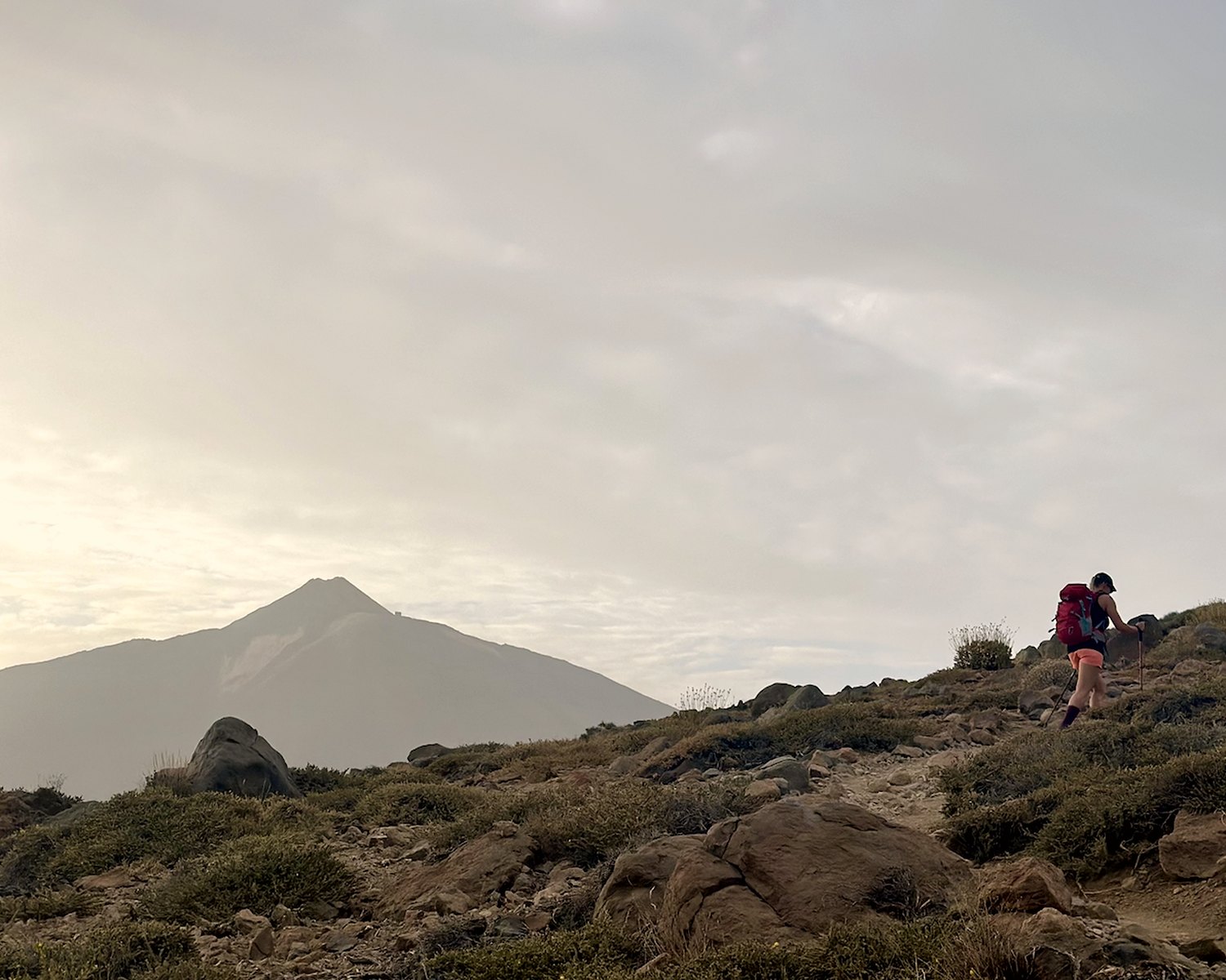
A high-altitude route to one of Tenerife’s strongest sunset viewpoints, with a clear view back to Mount Teide.
How we choose routes
We look for routes with shape: terrain, changing landscapes, views, logistics, trail surface and the real effort required. A hike only makes the collection if we would recommend it to friends, not just save it on a map.
Not just a tick-box Tenerife hike: the trail needs rhythm, strong scenery and a real reason to spend a holiday day on it.
Start point, finish, parking, timing, transport and important route details are already thought through.
We look beyond the view: elevation gain, trail surface, duration and how tired you are likely to feel afterwards.
What you get before you set out
Each route includes the map, the hiking logic and practical details that make it easier to walk independently and calmly.
Difficulty, distance, elevation gain, duration and who the route suits.
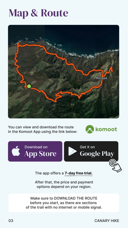
A clear route outline plus a navigation link you can open on your phone.
Key sections, viewpoints, tricky parts and places where hikers can easily take a wrong turn.
Weather, water, clothing, season, parking and the details worth knowing before you start.
Hiking in Tenerife
One Tenerife day can mean misty Anaga forest; the next can be volcanic high country and empty trails above the clouds. The right route is not always the most popular one, but the one that matches the day you want to have.
Lava fields, green Anaga, ocean trails, pine slopes and Teide high country.
A short sunset hike, an easy ocean walk or a full mountain day.
Easy, moderate and hard routes with clear timing and realistic effort.
The collection includes calmer hikes with good views and no brutal climbs.
Quick planning notes
A digital self-guided hiking guide for Tenerife: map, GPX link, timing, elevation gain, navigation, parking, weather notes and practical details before you start.
Travellers who want to hike independently without a tour group and understand the difficulty, duration, logistics and effort before setting out.
The collection includes hiking routes in Anaga, Teide high country, Tenerife’s north coast, lava fields, pine forests and ocean trails.
Yes. Some routes are suitable for relaxed hiking, families with children and shorter walks without heavy physical effort.